Our initial scope is to examine how we can can use hyperspectral satellite data within Unreal Engine (UE).
Hyperspectral Imaging
Wikipedia entry for Hyperspectral Imaging:
Hyperspectral imaging collects and processes information from across the electromagnetic spectrum.[1] The goal of hyperspectral imaging is to obtain the spectrum for each pixel in the image of a scene, with the purpose of finding objects, identifying materials, or detecting processes.[2][3] There are three general branches of spectral imagers. There are push broom scanners and the related whisk broom scanners (spatial scanning), which read images over time, band sequential scanners (spectral scanning), which acquire images of an area at different wavelengths, and snapshot hyperspectral imaging, which uses a staring array to generate an image in an instant.
Whereas the human eye sees color of visible light in mostly three bands (long wavelengths – perceived as red, medium wavelengths – perceived as green, and short wavelengths – perceived as blue), spectral imaging divides the spectrum into many more bands. This technique of dividing images into bands can be extended beyond the visible. In hyperspectral imaging, the recorded spectra have fine wavelength resolution and cover a wide range of wavelengths. Hyperspectral imaging measures continuous spectral bands, as opposed to multiband imaging which measures spaced spectral bands.[4]
Hyperspectral imaging satellites are equipped with special imaging sensors that collect data as a set of raster images, typically visualised as a stack, which each layer representing a discrete wavelength captured by the sensor array.
By Dr. Nicholas M. Short, Sr. - NASA Link

This represents a 3-dimensional hyperspectral data cube, consisting of x,y coordinates that correspond to Earth-coordinates within a defined geodetic reference system, and the λ coordinate which corresponds to spectral wavelength.
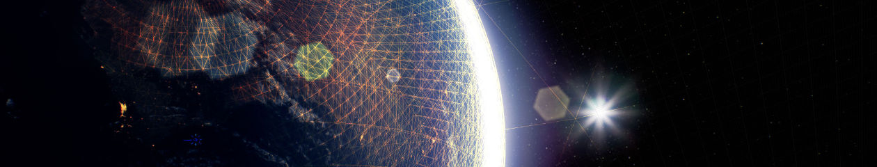
Earth Model
An Earth Model means precisely that – a model of the Earth!
More specifically, the Earth is understood as a highly complex three-dimensional shape. It can be simply represented as a sphere or more accurately as an oblate spheroid, representing the diametric differences between equatorial and polar diameters caused by the rotation of the planet.
The scientific study of the shape of the Earth is called Geodesy. Arising from this is the World Geodetic System, about which Wikipedia notes:
The World Geodetic System (WGS) is a standard used in cartography, geodesy, and satellite navigation including GPS. The current version, WGS 84, defines an Earth-centered, Earth-fixed coordinate system and a geodetic datum, and also describes the associated Earth Gravitational Model (EGM) and World Magnetic Model (WMM). The standard is published and maintained by the United States National Geospatial-Intelligence Agency.[1]
Most relevant to creating a digital model of the Earth is the Earth-centred, Earth-fixed coordinate system (or ECEF):
The Earth-centered, Earth-fixed coordinate system (acronym ECEF), also known as the geocentric coordinate system, is a cartesian spatial reference system that represents locations in the vicinity of the Earth (including its surface, interior, atmosphere, and surrounding outer space) as X, Y, and Z measurements from its center of mass.[1][2] Its most common use is in tracking the orbits of satellites and in satellite navigation systems for measuring locations on the surface of the Earth, but it is also used in applications such as tracking crustal motion.
The distance from a given point of interest to the center of Earth is called the geocentric distance, R = (X2 + Y2 + Z2)0.5, which is a generalization of the geocentric radius, R0, not restricted to points on the reference ellipsoid surface. The geocentric altitude is a type of altitude defined as the difference between the two aforementioned quantities: h′ = R − R0;[3] it is not to be confused for the geodetic altitude.
Conversions between ECEF and geodetic coordinates (latitude and longitude) are discussed at geographic coordinate conversion.
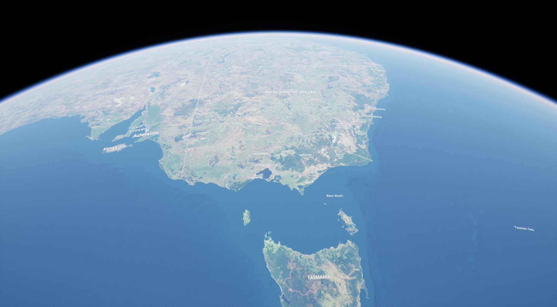
Unreal Engine
Unreal Engine 5.1 provides a comprehensive system for managing ECEF georeferenced data, including ‘flat’ and ’round’ planet projections:
https://docs.unrealengine.com/5.1/en-US/georeferencing-a-level-in-unreal-engine/
In addition to this, there are a variety of plugins available for managing georeferenced data.
For this research we are evaluating two initial approaches:
Cesium for Unreal: https://cesium.com/platform/cesium-for-unreal/
Landscaping Plugin: https://landscaping.ludicdrive.com
More soon.